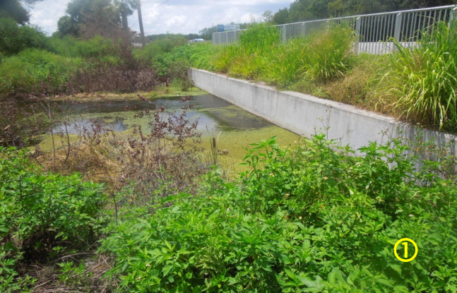


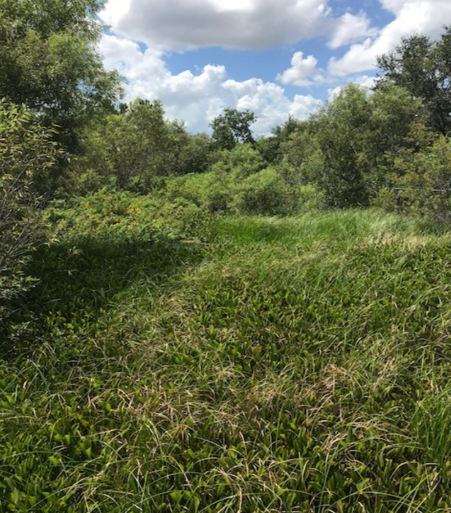
This is the view from the south Turnpike culvert, looking south toward Johns Lake, very over-grown.

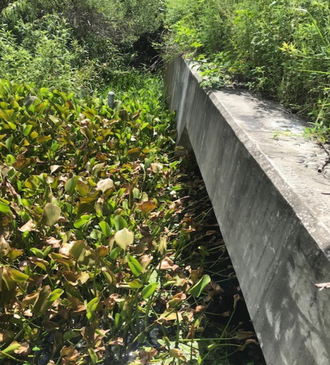
This is the south Turnpike culvert structure. Johns Lake to the right, Turnpike to the left.
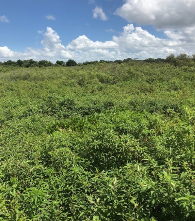
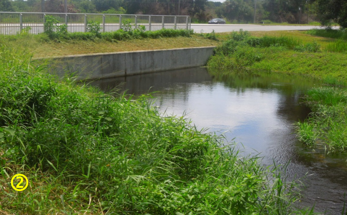
This is the view from the north Turnpike culvert, looking north toward Hwy 50, very over-grown.
This is the north Turnpike culvert structure. Turnpike and Johns Lake are to the right.